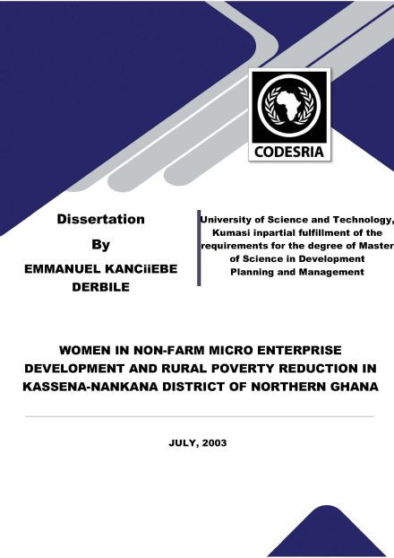
Women in non farm micro enterprise development and rural poverty reduction in Kassena-Nankana district of northern Ghana
2023
Abstract views : 108 Downloads : 48

CODESRIA Books Publication System
The study developed a GIS database on inter-annual rainfall variability and crop yield in the Guinea Savanna ecological zone of Nigeria; mapped inter- annual changes in crop yield as a response to inter-annual rainfall variability in the study area. It also related the spatio-temporal variability in rainfall with crop yields; and model future scenario of the impact of rainfall
variability on crop yields. This was with a view to evaluating the spatio-temporal impacts of rainfall variability on crop yields in the area. Secondary datasets were used for the study. These included annual crop yield and rainfall data from 1970 to 2000 and topographical maps of the study area. Data on crop yield were obtained from the Annual Abstracts of Statistics of the National Bureau of Statistics, Abuja while rainfall data were collected from the Nigerian Meteorological Services, Oshodi Lagos. Spatial datasets were prepared as a base data for the analyses. Three spatial interpolation methods: Inverse Distance Weighting
(IDW); Spline and Kriging were used for the spatial analysis. Also, correlation and regression analysis were carried out on the dataset. The results showed spatial relationships between crop yield and rainfall variability for the period of study. Also, coefficient of variation showed that rainfall variability was high in most of Northern Guinea Savanna with values ranging from 21% to 49% (e.g. Yola 21% and Minna 29%) while it was low in the Southern Guinea Savanna especially, with values ranging from 8% to 9% (e.g Shaki 8% and Enugu 9%). The spatial variability in rainfall fluctuated from one year to the other (550mm to
2987mm). The results showed that there were significant positive relationship between crop yield and total rainfall (r=0. 68, at p<0.05 for millet; r= 0.62, at p<0.05 for maize; r= 0.68, at p<0.05 for cassava; and r= 0.62, at p<0.05 for yam). The results further showed that the quantity of rainfall in April and May were the most important for maize and millet yield in most of the stations considered. This indicated that in a “normal” year, farmers in the Guinea Savanna should not plant maize and millet earlier than
the month of April. The study concluded that geospatial techniques are powerful tools that should be explored further
for realistic assessment of the effects on climate of farming activities.

APA Ayansina, A. (2023). Geospatial Analysis of Rainfall Variability Impacts on Crop Yield in the Guinea Savanna Ecological Zone of Nigeria. CODESRIA. https://doi.org/10.57054/codesria.pub.1393
Chicago Ayansina, AYANLADE,. Geospatial Analysis of Rainfall Variability Impacts on Crop Yield in the Guinea Savanna Ecological Zone of Nigeria. Dakar: CODESRIA, 2023. https://doi.org/10.57054/codesria.pub.1393.
MLA Ayansina, AYANLADE,. Geospatial Analysis of Rainfall Variability Impacts on Crop Yield in the Guinea Savanna Ecological Zone of Nigeria. CODESRIA, 2023. https://doi.org/10.57054/codesria.pub.1393.
2023
Abstract views : 108 Downloads : 48
2023
Abstract views : 94 Downloads : 64
2023
Abstract views : 88 Downloads : 27
2023
Abstract views : 108 Downloads : 30
2023
Abstract views : 106 Downloads : 46
2023
Abstract views : 120 Downloads : 22
2023
Abstract views : 120 Downloads : 59
2023
Abstract views : 148 Downloads : 60
2023
Abstract views : 115 Downloads : 18
2023
Abstract views : 81
2023
Abstract views : 92 Downloads : 15
2023
Abstract views : 104 Downloads : 10